Forestry
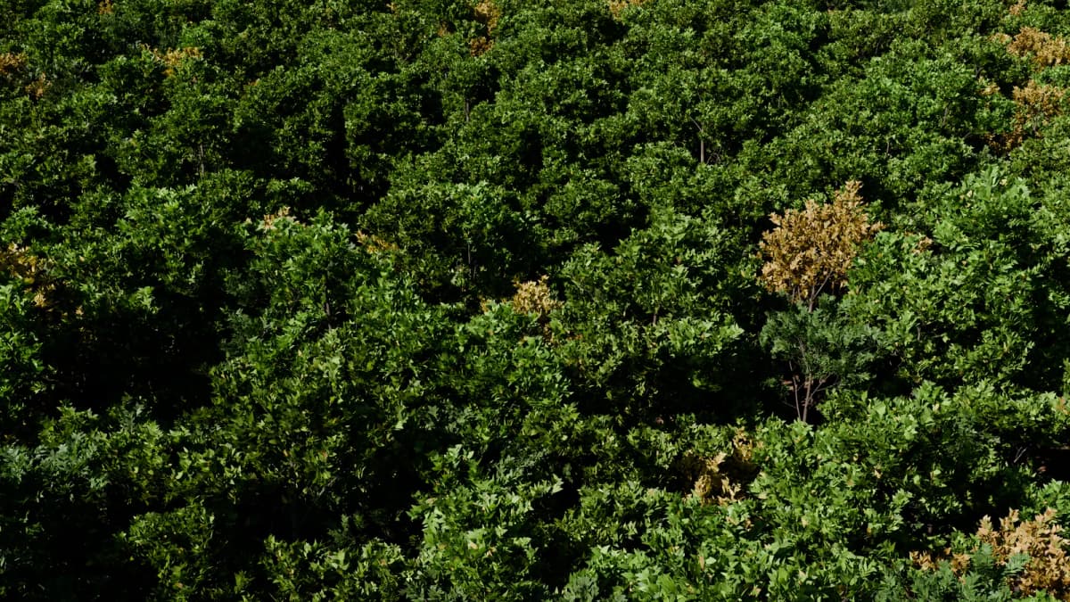
Stem maps, diameter and height for every tree in a plot.
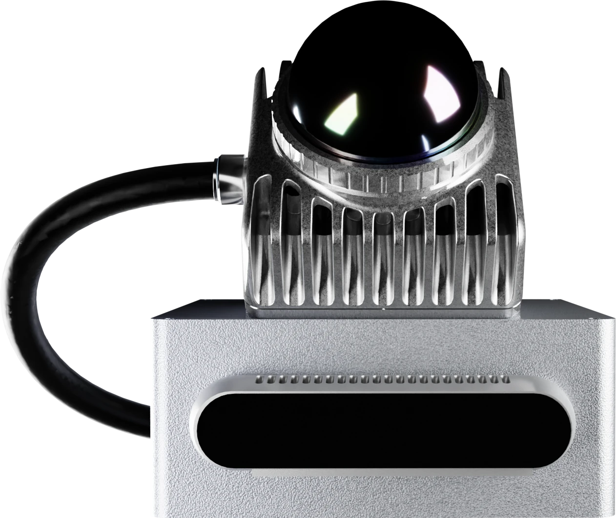
360° LiDAR
200,000 points/s · 70 m range
Depth camera
Global shutter, active stereo
GPU processing unit
67 TOPS · 1,024-core GPU
Quick-mount
Grip, drone, robot or vehicle
Real-time 3D mapping from one sensor head: on foot, in the air or on a vehicle.
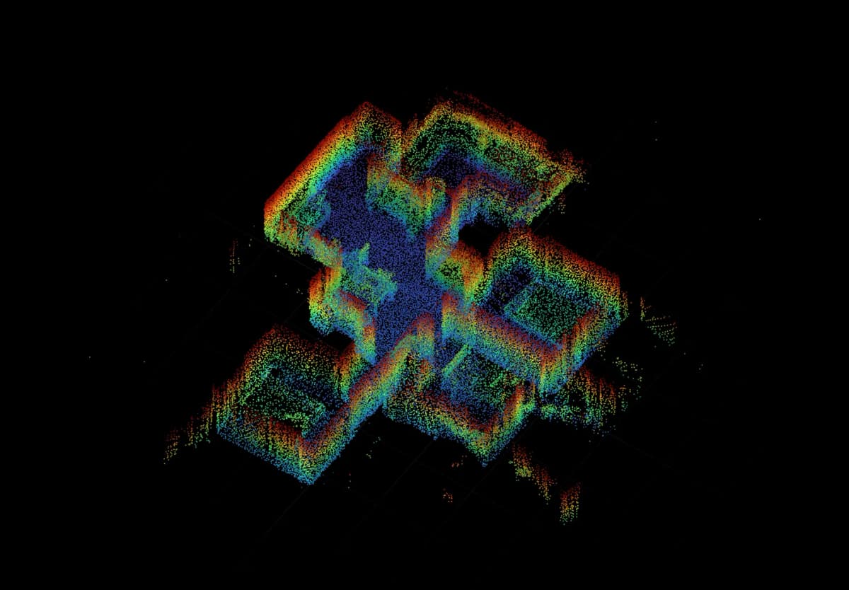
Recorded with Atlas · 27 Sept 2026
One handheld walk through an apartment, registered on the head in real time. Gaps in coverage show up on site, while you can still go back for them.
Handheld
Carried on its battery grip. Walk a site and the map grows with every step.
Aerial
Release the grip and the same head mounts inverted under a drone, mapping the site line by line.
Vehicle and robot
On a robot or vehicle it maps the space and locates the machine within it, at the same time.
Applications
Building interiors, open sites and infrastructure corridors. One instrument, the same data, whatever carries it.
Stem maps, diameter and height for every tree in a plot.
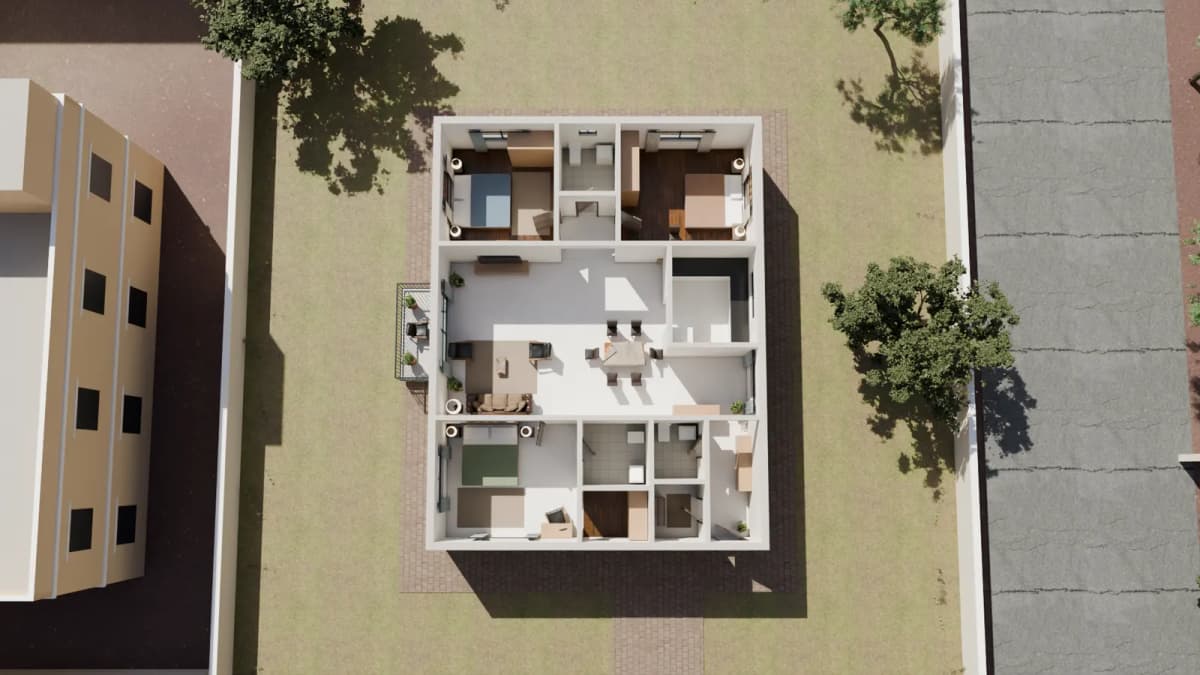
Floor plans and scan-to-BIM from a single walk.
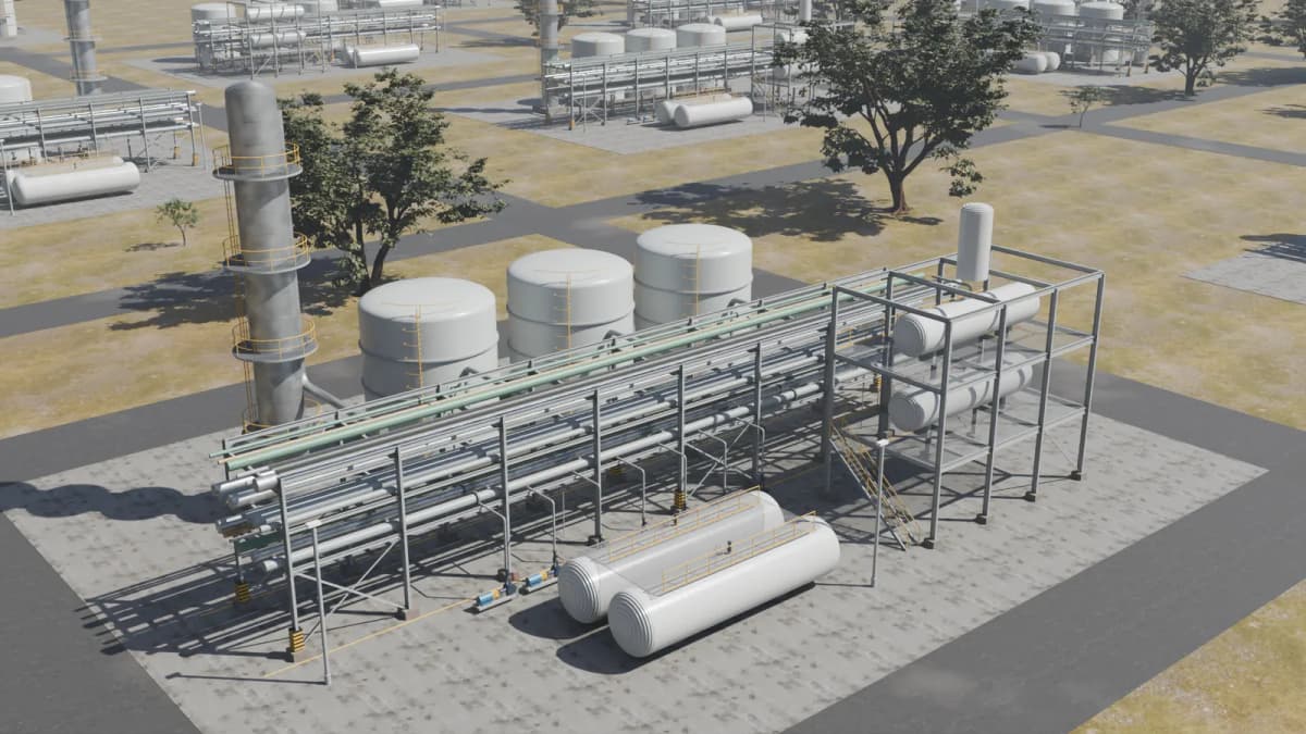
Sections, profiles and clearances across pipe racks.
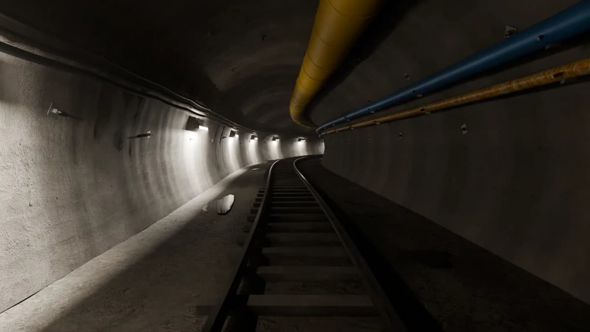
Maps underground, where GPS can’t reach.
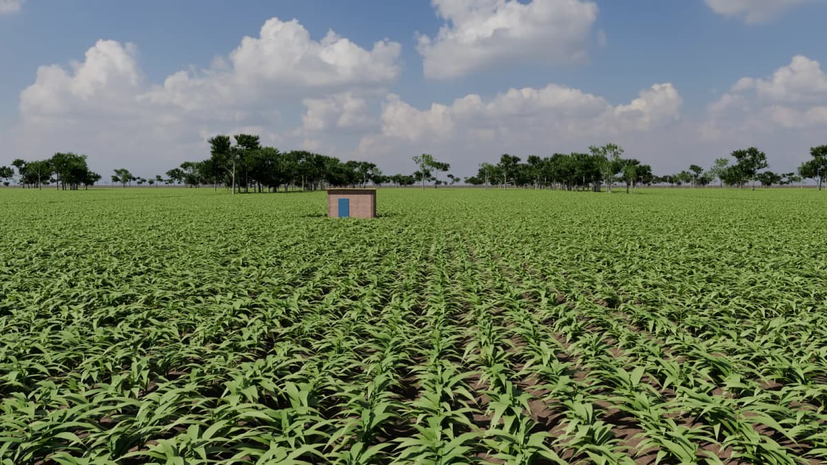
Surveys fields from the air, row by row.
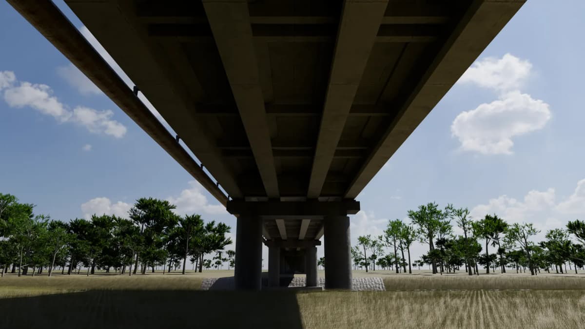
Bridges and corridors, on foot or by drone.
Specifications
±30mm
Map accuracy over long runs
200,000pts/s
LiDAR capture rate
70m
LiDAR range
67TOPS
Processing on the head
715g
Sensor head weight
74Wh
Battery in the grip
Atlas by Robolabs AI